Task 20160503T02
Created miércoles 13 mayo 2015
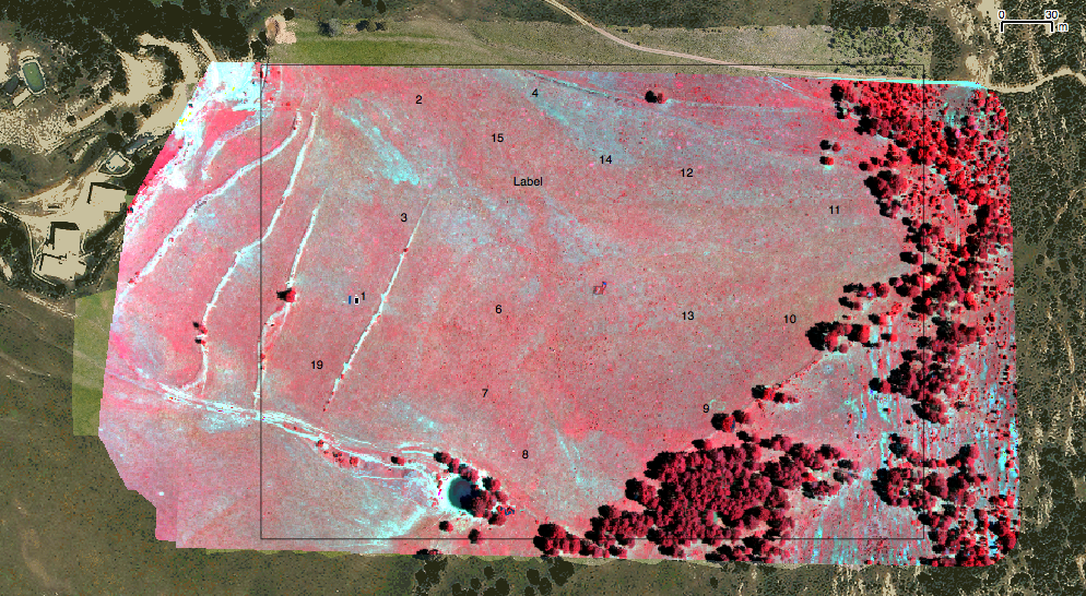
Multi-spectral mosaic for Vegetation dynamics
1. Specification of Final product 2:
- Must match the 2015 product
- Mosaic resolution: 20 cm
2. Flight characteristics and equipment
- Area to be covered 400m x 700m
- Camera: Micasense RedEdge 5 bands
- Ginbal: designed for Micasense
- Height: 250 m
3. Deliverables
Images and necessary files to create the multi-spectral mosaic using Agisoft PhotoScan
- X images of XXX cm * YYY cm and xxx resolution HEMAV?
- Overlap among images ~80% HEMAV?
- Images of calibration targets at the begining and end of the flight
- Size of calibrated targets: XX * XX ALOBO
- File 1 with
- image name
- time of acquisition
- X coordinate of image center
- Y coordinate of image center
- Z coordinate of image center
- pitch
- rol
- yaw
- FIle 2 GPS data of flight parameters (to evaluate flight quality) with
- time
- X,Y,Z
- pitch,yaw,rol
4. Field Work
4.1 Ground marks
- 16 ground marks with sub-metric GPS positioning must be visible in the ensemble (ALOBO)
- Calibration targets (HEMAV - ALOBO)